Atlanta BeltLine Posts Final Transit Study Recommendations

Atlanta BeltLine presented and posted final recommendations from its multiyear transit study on September 3, identifying preferred routes and station locations around the corridor, including the northwest, southwest, and southeast quadrants.

Gallery1 / 9

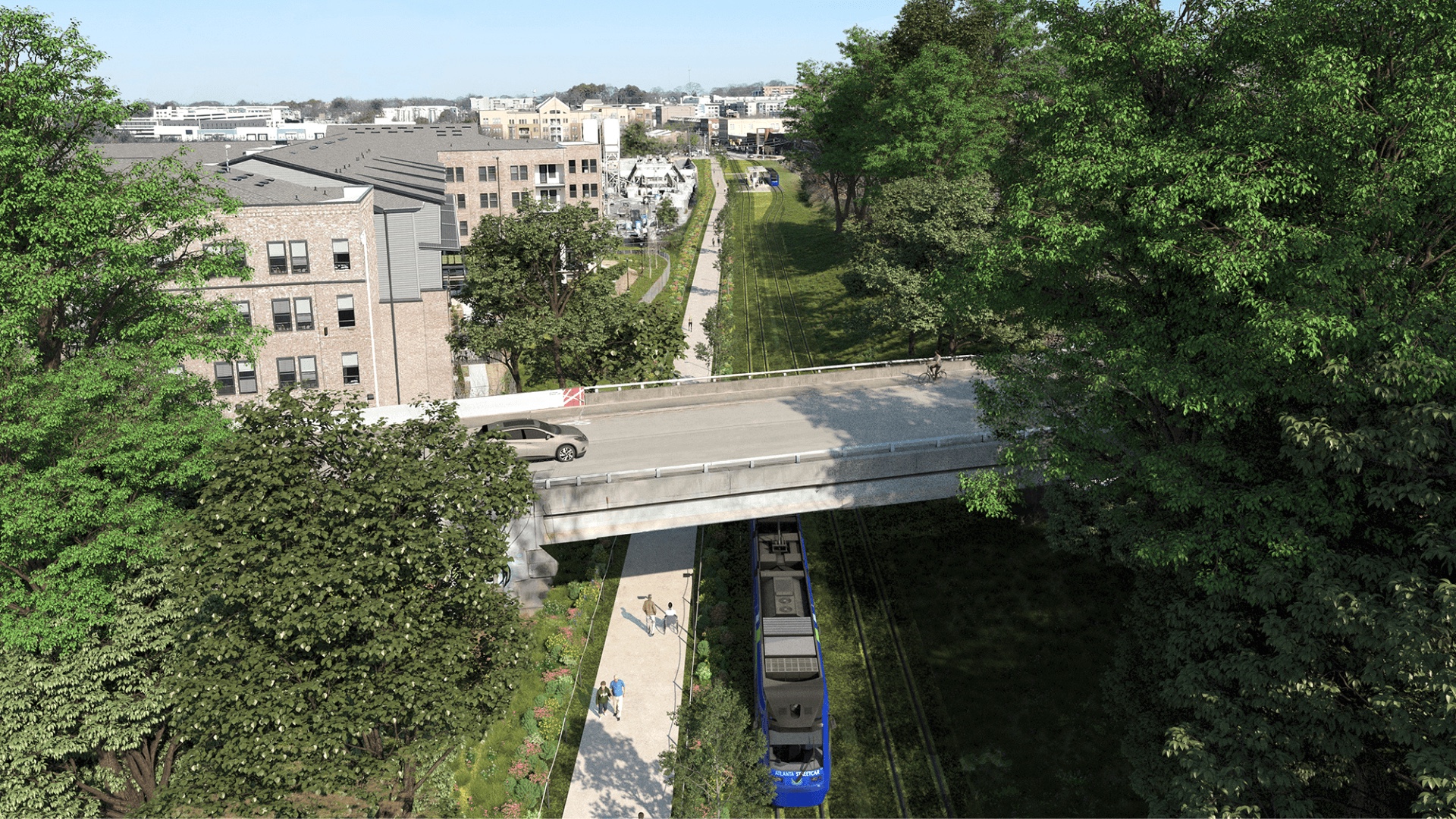
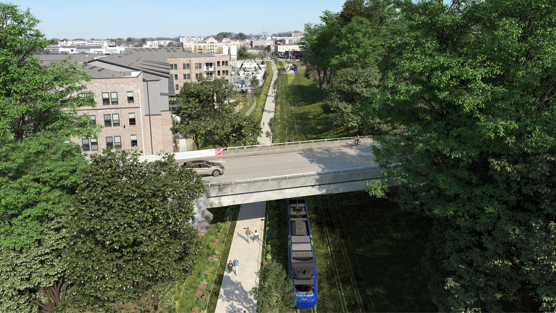
Rendering of BeltLine transit running beneath the Berne Street bridge beside the trail and adjacent development.
Project renderingBeltLine transit beneath the Berne Street bridge.Kimley-Horn; via Atlanta BeltLine, Inc.
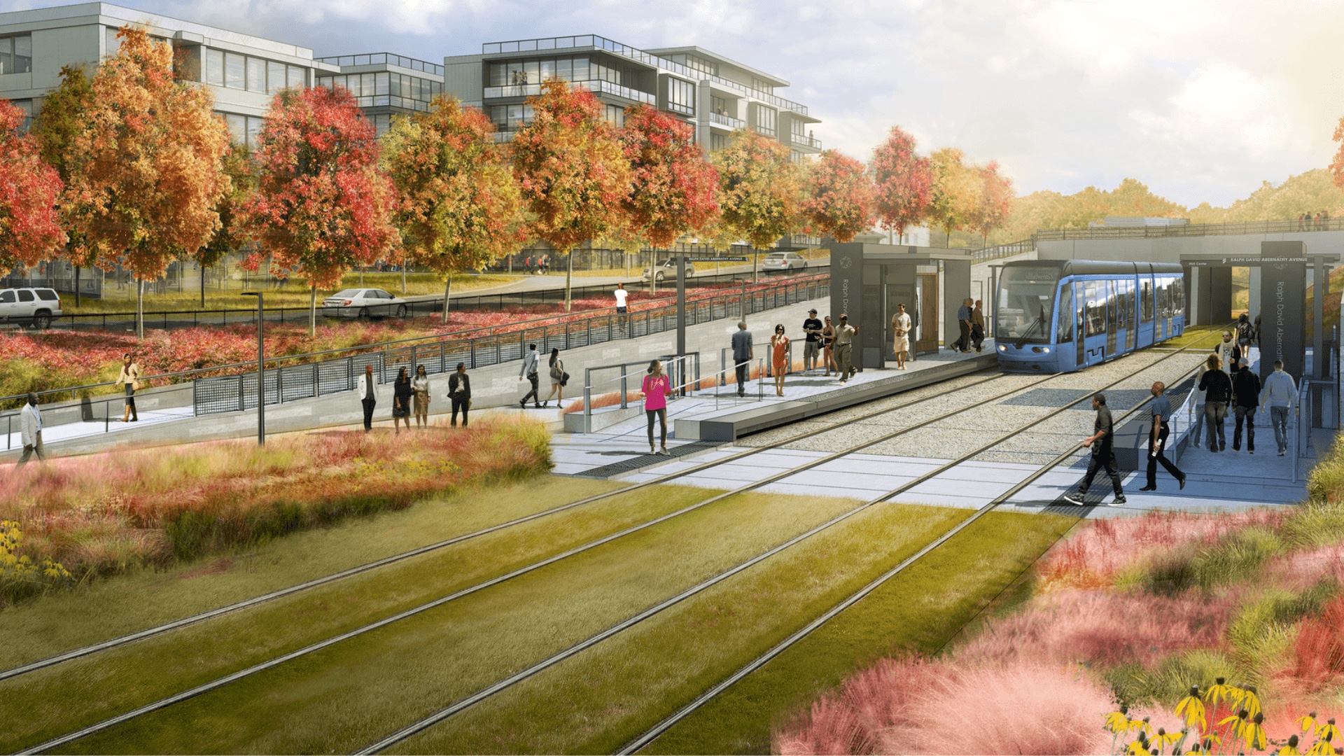
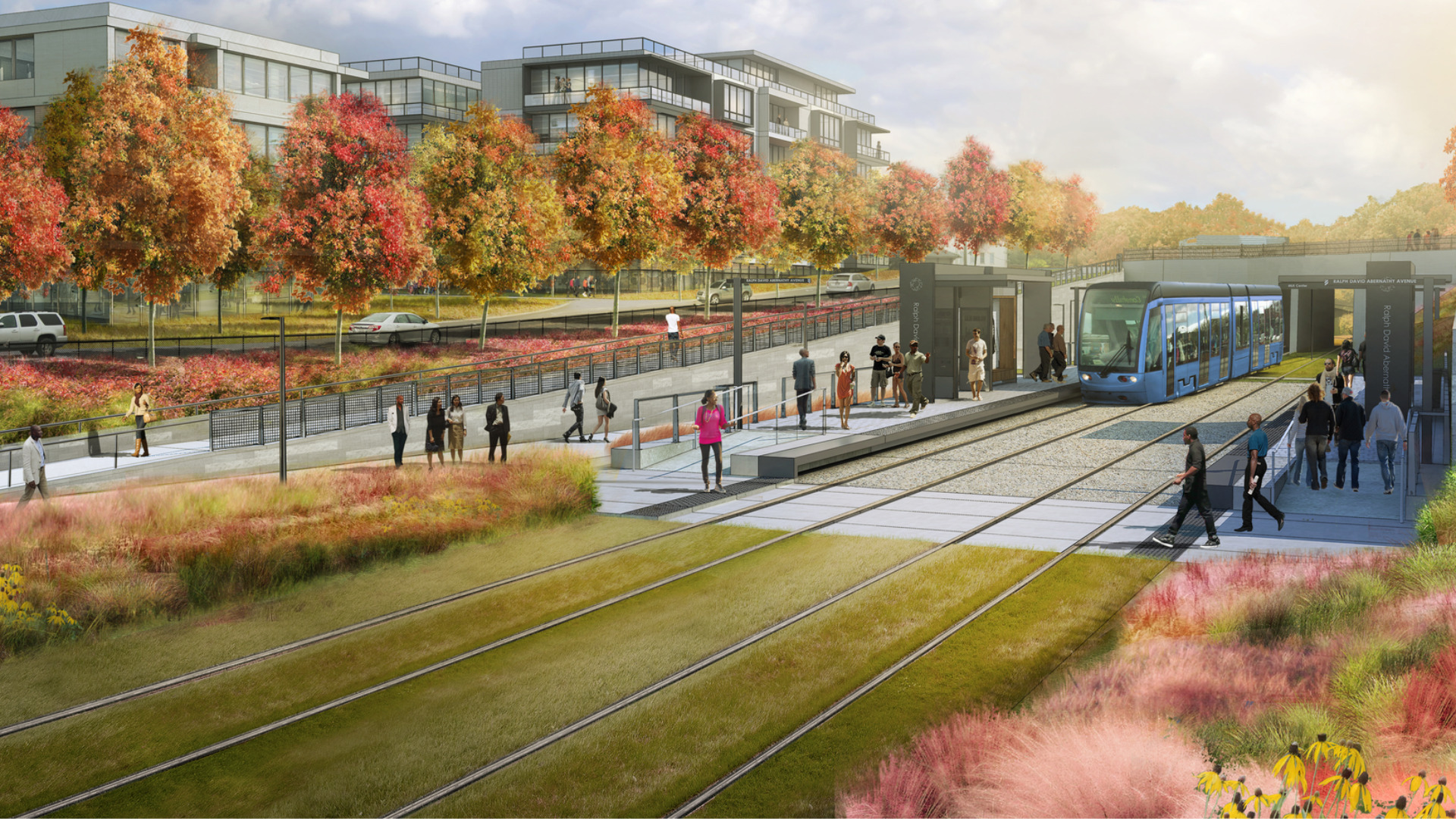
Rendering of a BeltLine transit station at Ralph David Abernathy Boulevard with a streetcar, platforms, riders, trail, and landscaping.
Project renderingBeltLine transit station at Ralph David Abernathy Boulevard.Kimley-Horn; via Atlanta BeltLine, Inc.
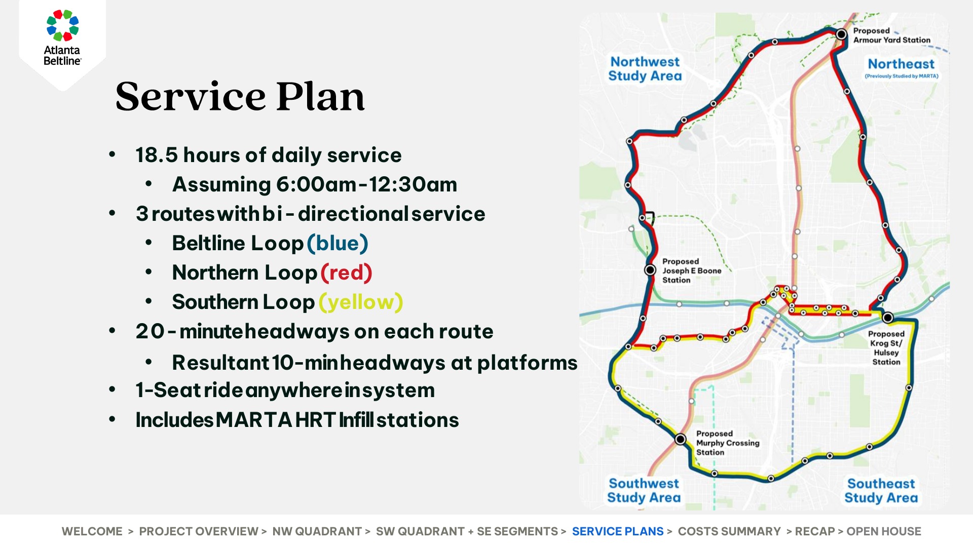
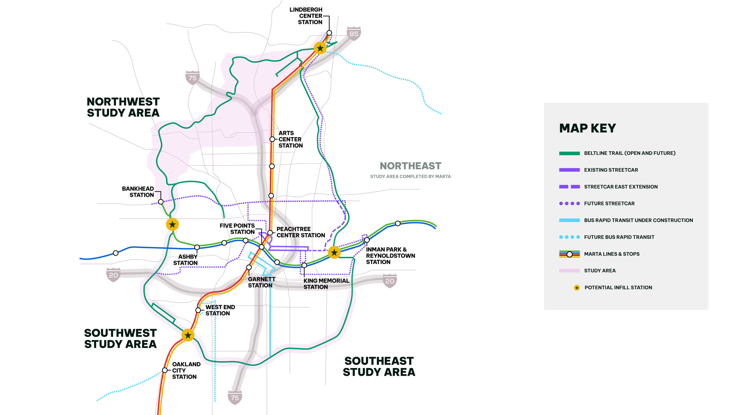
Atlanta BeltLine's final Transit Study service-plan slide maps the BeltLine Loop, Northern Loop, Southern Loop, proposed stations, and MARTA connections.
Location contextAtlanta BeltLine's final Transit Study service-plan slide maps the BeltLine Loop, Northern Loop, Southern Loop, proposed stations, and MARTA connections.Atlanta BeltLine
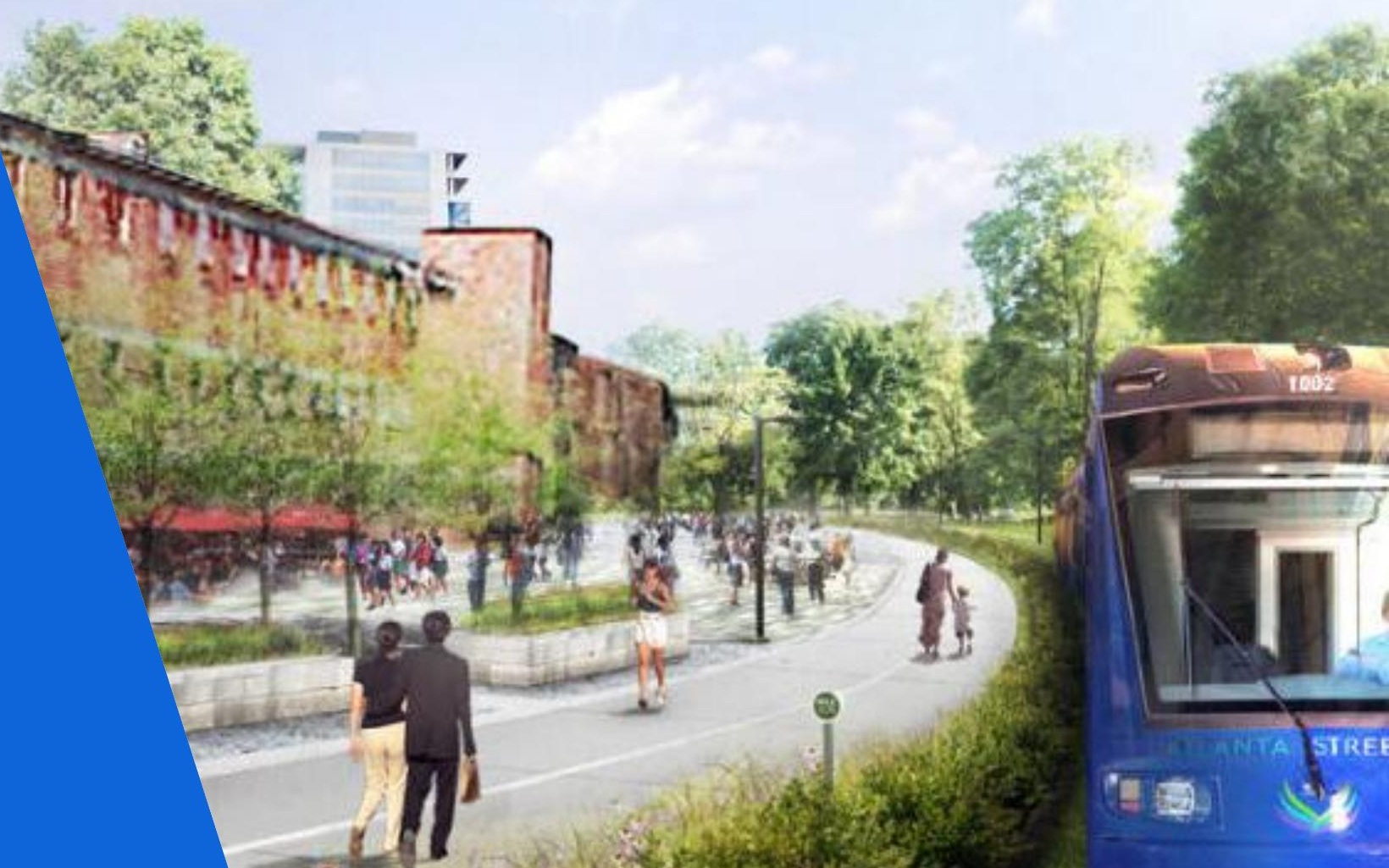
Atlanta BeltLine's official Transit Study presentation pairs its September 3 citywide-conversation title with a rendering of BeltLine transit beside the trail.
Project renderingAtlanta BeltLine's official September 3 Transit Study presentation includes this rendering of BeltLine transit beside the trail.Atlanta BeltLine
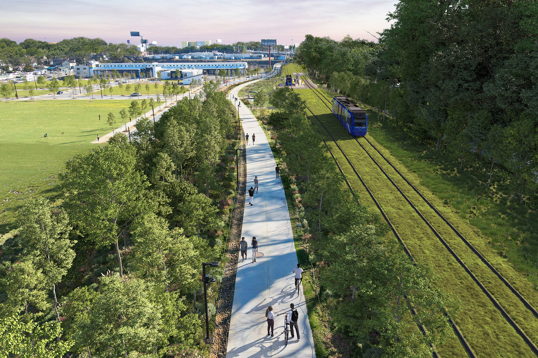
Transit Rendering of Southside Trail at Pittsburgh Yards
Project renderingTransit Rendering of Southside Trail at Pittsburgh YardsSouthside Trail At Pittsburgh Yards
Transit Rendering of Southside Trail Under Berne Street Bridge
Project renderingTransit Rendering of Southside Trail Under Berne Street BridgeSouthside Trail Under Berne Street Bridge
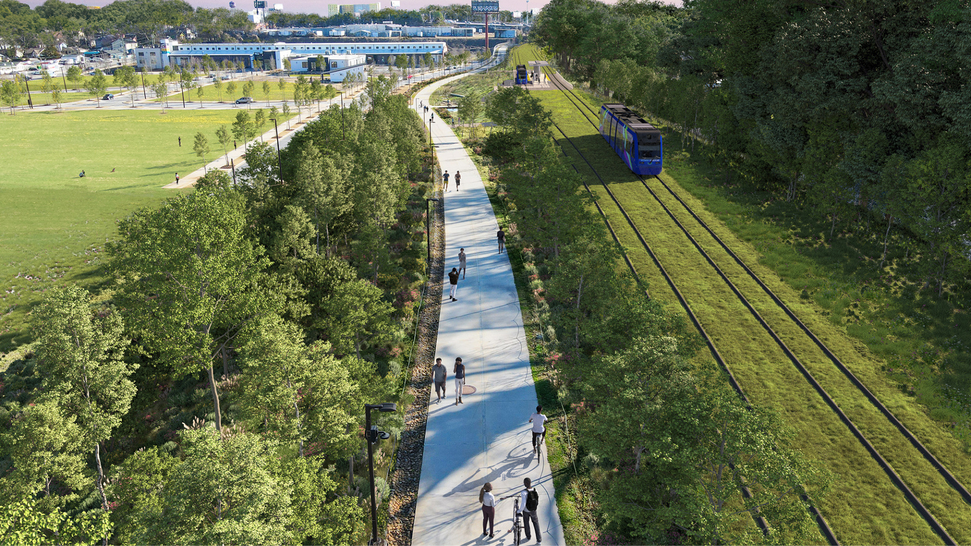
Aerial rendering of a scenic paved trail with cyclists and pedestrians, adjacent to a lush green space and tram tracks, under a blue sky.
Project renderingAerial rendering of a scenic paved trail with cyclists and pedestrians, adjacent to a lush green space and tram tracks, under a blue sky.Pittsburgh Yards
Transit Rendering of Westside Trail at Rda
Project renderingTransit Rendering of Westside Trail at RdaWestside Trail At Rda
Abl Transit Study Map with Marta Infill Stations
Project contextAbl Transit Study Map with Marta Infill StationsAtlanta BeltLine

Atlanta BeltLine presented and posted final recommendations from its multiyear transit study on September 3, 2026, identifying preferred routes and station locations around the northwest, southwest, and southeast parts of the corridor. The study estimates the full transit program at $3.5 billion. The recommendations give Atlantans a concrete route-and-station framework to review, but they are a planning milestone rather than approval or funding to build rail.

Why it matters

The recommendations put a citywide route-and-station framework behind the BeltLine's transit concept and give Atlantans a concrete plan to review, but they are a planning milestone rather than approval or funding to build rail.

Scale$3.5B program estimate
TimelineFinal study recommendations posted Sept. 2026
WhoAtlanta BeltLine
Sources and documents2 sources

See an error, or have an update on this project? Tell Urban Atlanta.
Connected coverage

Follow the thread

All updates →

Explore the projects, places, developers and public systems connected to this story. Each card explains the link.

Abl Transit Study Map with Marta Infill Stations
Transit Rendering of Southside Trail at Pittsburgh Yards
Full 22-mile BeltLine

Same projectBeltline Transit Study

Both involveAtlanta BeltLine

Funding

Council puts a deadline on the BeltLine rail question

Atlanta City Council is considering resolution 26-R-3999, which backs light rail around the full 22-mile BeltLine and requests an implementation and funding update by January 26, 2027.

Full 22-mile BeltLine Sep 21, 2026
Project: Beltline Transit Study
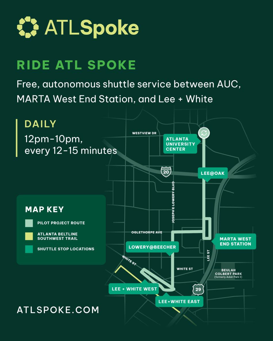
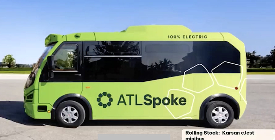
Beltline-backed driverless shuttles debuted on Southwest Atlanta streets before 2026 FIFA World Cup.
ATL Spoke Phase Toolkit IG Post
Southwest Atlanta

Both involveAtlanta BeltLine

Shared topicTransit

Milestone

The BeltLine's free robo-shuttle now reaches the AUC

ATL Spoke extended its autonomous shuttle route to the Atlanta University Center for the fall semester, linking Spelman, Morehouse and Clark Atlanta to the West End MARTA station and the Southwest Trail.

Southwest Atlanta Aug 17, 2026
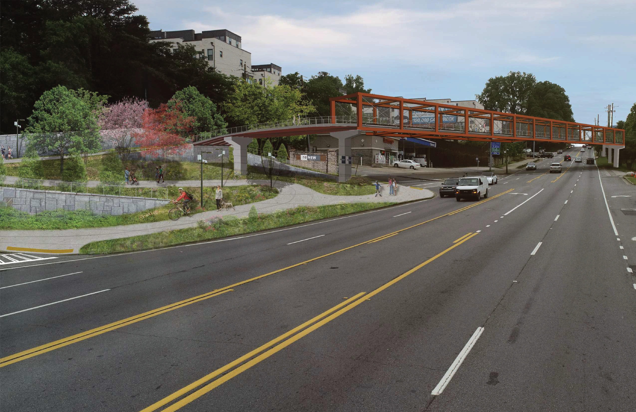
Rendering of the new orange steel pedestrian bridge carrying the Atlanta BeltLine Northwest Trail over Northside Drive near a QuikTrip station, with people walking and biking on the approach path.
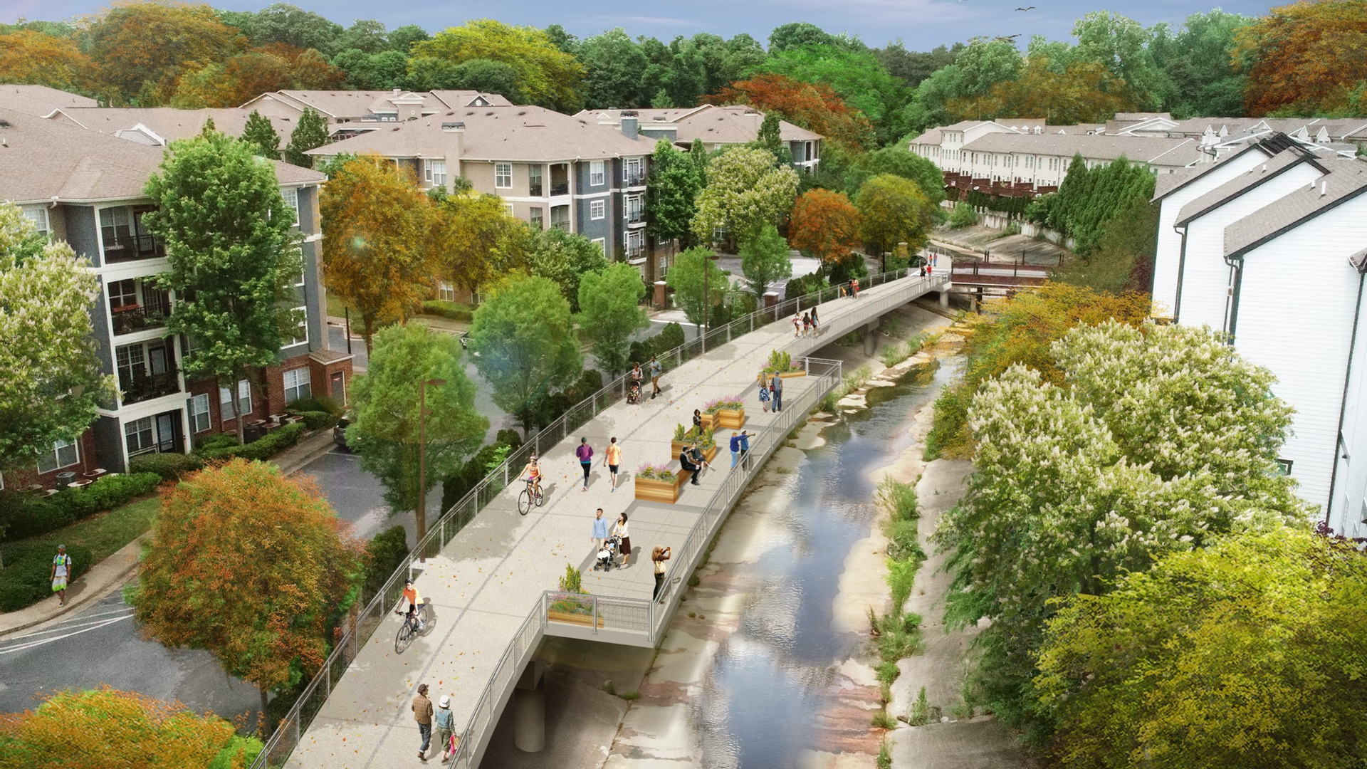
A new, elevated trail runs behind an apartment complex. People are walking and biking along the trail.
Northwest Atlanta

Both involveAtlanta BeltLine

Opening

BeltLine Starts Northwest Trail Segment 3B

Construction has started on Atlanta BeltLine Northwest Trail Segment 3B, a nearly one-mile link from Trabert Avenue to Tanyard Creek Park. The route will bridge Northside Drive, pass through Atlanta Technology Center and under I-75, connecting five northwest Atlanta neighborhoods to the completed Segment 3A and Northside Trail. Atlanta BeltLine lists late fall 2028 as the expected opening.

Northwest Atlanta Sep 10, 2026
Project: Atlanta BeltLine Northwest Trail Segment 3B