PlanningInfrastructure

Atlanta BeltLine Transit

Atlanta BeltLine Transit
Imagebeltline.org

Overview

A proposed three-route light-rail system along the Atlanta BeltLine corridor, with preferred routes and stations identified and additional funding, planning and engineering still required.

Project information checked Nov 3, 2026

Updates

Newest first
Atlanta BeltLine Transit
RenderingSouthside Trail At Pittsburgh Yards
Atlanta BeltLine Transit
RenderingSouthside Trail Under Berne Street Bridge
Aerial rendering of a scenic paved trail with cyclists and pedestrians, adjacent to a lush green space and tram tracks, under a blue sky.
RenderingAerial rendering of a scenic paved trail with cyclists and pedestrians, adjacent to a lush green space and tram tracks, under a blue sky.Pittsburgh Yards
Atlanta BeltLine Transit
RenderingWestside Trail At Rda
Atlanta BeltLine Transit
Renderingbeltline.org
A rendering of green, pedestrian-friendly transit alongside the Eastside Trail.
RenderingA rendering of green, pedestrian-friendly transit alongside the Eastside Trail.Streetcar East
The Streetcar East Extension will extend to Ponce de Leon Avenue and run in greenspace adjacent to the Eastside Trail
RenderingThe Streetcar East Extension will extend to Ponce de Leon Avenue and run in greenspace adjacent to the Eastside Trailbeltline.org
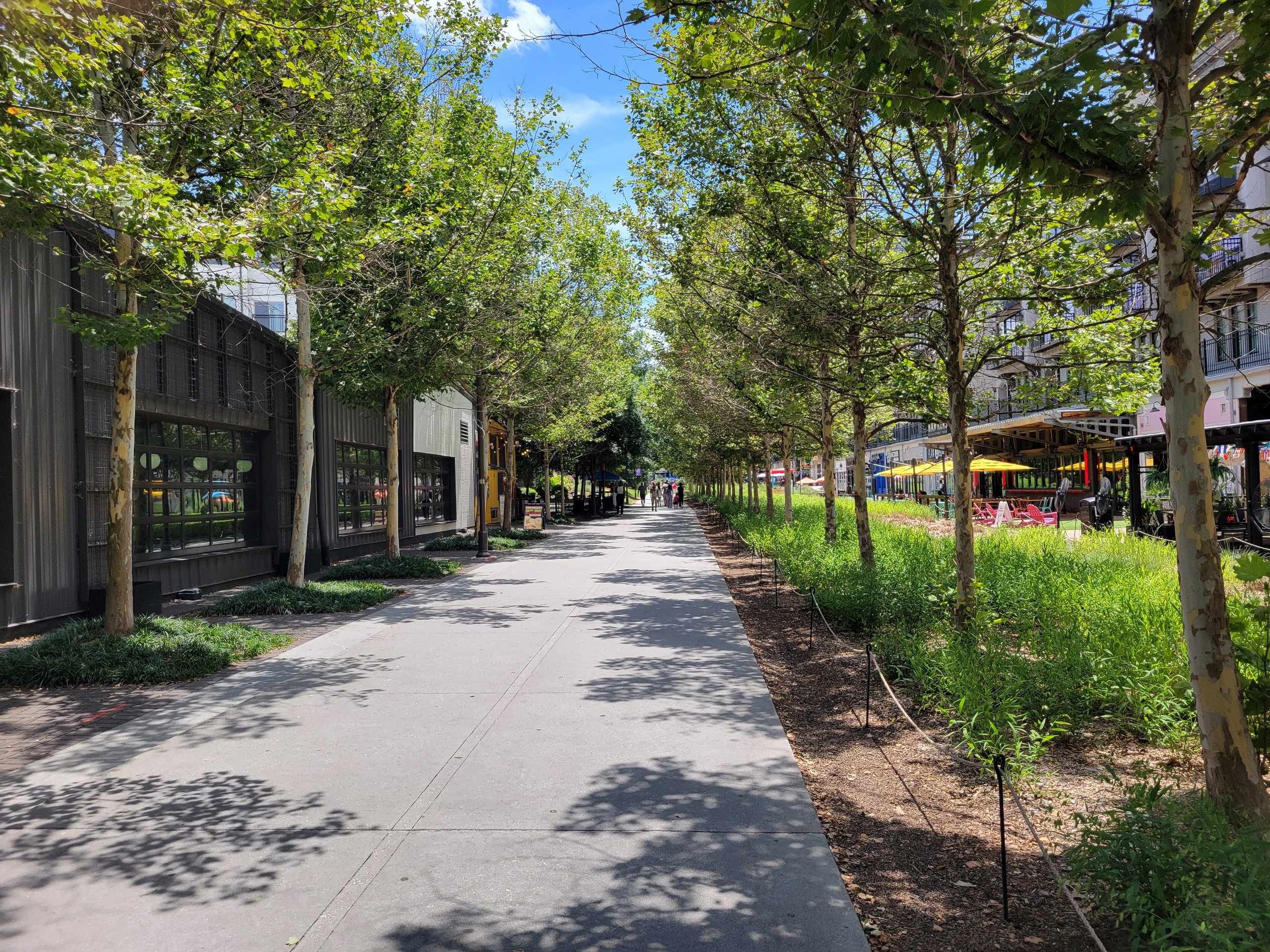
Atlanta Beltline Eastside Trail, Inman Park Georgia
PhotographAtlanta Beltline Eastside Trail, Inman Park GeorgiaJohn Phelan / Wikimedia Commons (CC BY 4.0)
Bts Citywide Conversation by Ben Gray
ImageBts Citywide Conversation by Ben Graybeltline.org
Project image